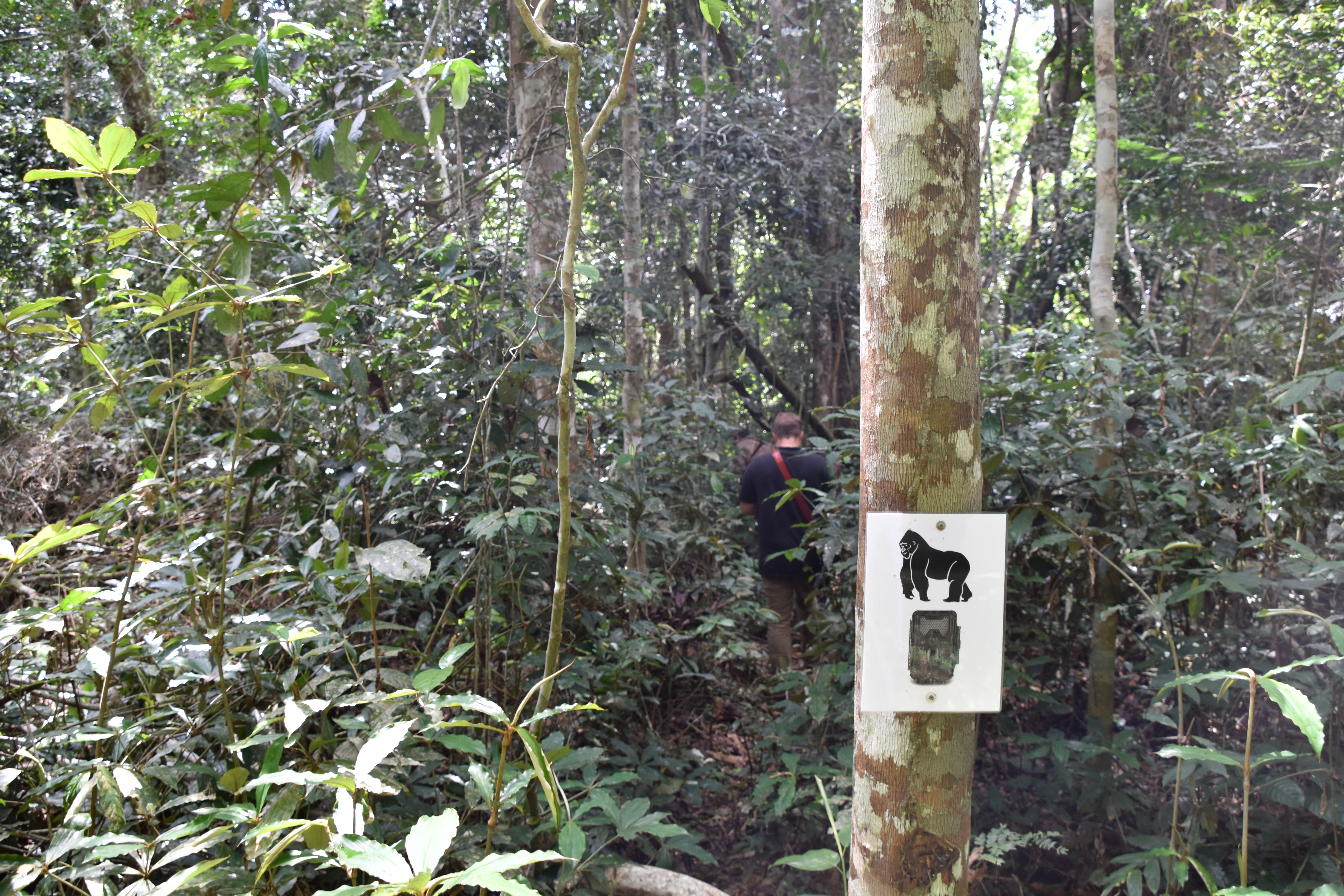
GIS, or Geographic Information Systems, play a crucial role in nature conservation. Every day, mapping and spatial analysis are aiding conservation decisions, protected areas designation, habitat management on reserves and monitoring of wildlife populations, to name but a few examples. Want to learn more about how remote sensing is used in conservation? Check out the first two episodes of this season of Tech Tutors, where our Tutors answer the questions How do I use open source remote sensing data to monitor fishing? and How do I access and visualise open source remote sensing data in Google Earth Engine?
You can also check out our Virtual Meetup Archive for a range of panels that overlap with Remote Sensing & GIS topics.

- @kbubnicki
- | he/his
Ecologist, data scientist, and programmer with over 13 years of professional experience. Open source and Linux enthusiast. Researcher at the Mammal Research Institute, Polish Academy of Sciences, and CEO of the Open Science Conservation Fund.
- 0 Resources
- 0 Discussions
- 5 Groups

- @silvanasitayiari
- | she/her
- 0 Resources
- 0 Discussions
- 7 Groups

Adventure Scientists is a 501(c)3 nonprofit organization based in Bozeman, MT that equips scientists and researchers with high-quality data collected from the outdoors that are crucial to addressing environmental challenges around the world.
- 0 Resources
- 0 Discussions
- 16 Groups

I am both head of the Innovation department and a biodiversity consultant at the Biotope consultancy. Originally a botanist and GIS expert, I specialise in the management of innovation projects, in particular software and technological products dedicated to biodiversity.
- 0 Resources
- 0 Discussions
- 6 Groups
Island Conservation
- 1 Resources
- 0 Discussions
- 3 Groups

St. Lawrence University
Professor of Biology at St. Lawrence University
- 0 Resources
- 2 Discussions
- 13 Groups

- @SamuelHertz
- | He/Him/His
I'm a PhD researcher at Royal Holloway University of London (Centre for GeoHumanities) researching modalities of sound-sensing technologies across climate and conservation sciences. Interested in ethics and histories of acoustic monitoring as well as new visualization methods.
- 0 Resources
- 3 Discussions
- 10 Groups

Technology for Wildlife Foundation
- 0 Resources
- 3 Discussions
- 5 Groups

M.A.P Scientific Services
MAP Scientific Services | Geospatial Technology for Conservation
- 0 Resources
- 0 Discussions
- 2 Groups

- 0 Resources
- 0 Discussions
- 5 Groups
- 0 Resources
- 0 Discussions
- 3 Groups

M.A.P Scientific Services
Co-founder and Director of M.A.P Scientific Services, South Africa
- 0 Resources
- 0 Discussions
- 8 Groups
Article
Share Your Work in a Conservation Technology Video

Robin Marti Sarasa
Do you have photos and videos of your conservation tech work? We want to include them in a conservation technology showcase video
17 May 2024
Article
The Inventory User Guide

Jake Burton
Read in detail about how to use The Inventory, our new living directory of conservation technology tools, organisations, and R&D projects.
1 May 2024
Article
Introducing The Inventory!
Jake Burton
The Inventory is your one-stop shop for conservation technology tools, organisations, and R&D projects. Start contributing to it now!
1 May 2024
Careers
Hiring Chief Engineer at Conservation X Labs

Henrik Cox
Technology to End the Sixth Mass Extinction. Salary: $132 - $160k; Location: Seattle WA; 7+ years of experience in hardware product development and manufacturing; View post for full job description
1 May 2024
Article
What better way to conclude InConversation Season 1: East Africa than by delving into the exciting yet complex world of #tech4wildlife innovation across the region. This episode is going to be double the insight and...
30 April 2024
Article
Earth Blox dataset review: Meta Global Canopy Height (1m)

Cassie Anderson
Review by Professor Iain H Woodhouse
29 April 2024
Careers
Ecologist Postdoctoral Research Fellow

Alex Rood
The incumbent will develop models and metrics that can be used to shape conservation policy using multiple data sources including camera traps, movement data and citizen science concerning the diversity and...
23 April 2024
Careers
The Smithsonian National Zoo & Conservation Biology Institute is seeking a Program Manager to help coordinate multiple organizations in an effort to integrate movement data & camera trap data with global...
22 April 2024
Careers
Postdoc: Biologging & Camera Trap Data Integration

Lacey Hughey
The Smithsonian National Zoo & Conservation Biology Institute is seeking a Postdoctoral Research Fellow to help us integrate movement data & camera trap data with global conservation policy.
22 April 2024
Article
Starting a Conservation Technology Career with Vainess Laizer

Esther Githinji
Watch our interview with pioneering young Tanzanian vulture researcher Vainess Laizer! Her research investigating the breeding success of white-backed vultures in the western corridor of the Serengeti ecosystem using...
16 April 2024
Careers
Post Doctoral Research Assistant at ZSL
Alex Rood
ZSL is looking for an enthusiastic research scientist to join the multidisciplinary team and help deliver a project in Wales to better understand the ecology of tope sharks (Galeus galeus) in North Cardigan Bay and the...
9 April 2024
Careers

WWF is looking for consultant(s) with expertise in spatial data mapping and analysis.
19 March 2024
July 2024

September 2024

November 2023

111 Products
Recently updated products
| Description | Activity | Replies | Groups | Updated |
|---|---|---|---|---|
| Hello everyone, We are in the process of developing a new MSc in Conservation Technology at my university and would welcome your... |
|
Build Your Own Data Logger Community, AI for Conservation, Autonomous Camera Traps for Insects, Biologging, Camera Traps, Citizen Science, Climate Change, Acoustics, Community Base, Connectivity, Conservation Dogs, Conservation Tech Training and Education, Data management and processing tools, Drones, Early Career, Earth Observation 101 Community, East Africa Community, eDNA & Genomics, Emerging Tech, Ending Wildlife Trafficking Online, Ethics of Conservation Tech, Footprint Identification Technique (FIT), Human-Wildlife Conflict, Marine Conservation, Open Source Solutions, Protected Area Management Tools, Remote Sensing & GIS, Sensors, Software and Mobile Apps, Sustainable Fishing Challenges, Wildlife Crime, Women in Conservation Tech Programme (WiCT) | 5 hours 4 minutes ago | |
| Depending what you want to do, there are free services to annotate values for each point, interpolating between available time-location records in the RS data.The EnvDATA Track... |
|
Remote Sensing & GIS | 1 week ago | |
| Hi Folks,I'm interested in being the group leader for the Remote Sensing & GIS group, but it would be great to have a co-lead.... |
|
Remote Sensing & GIS | 2 weeks 2 days ago | |
| Hi folks!@Chelsea_Smith from Fauna & Flora joined last month's variety hour to share more about Fauna & Flora's work with... |
|
Remote Sensing & GIS, Data management and processing tools, Protected Area Management Tools | 1 month 1 week ago | |
| Calling practitioners working in connectivity... we're doing some thinking around modelling functional connectivity, and the data that... |
|
Remote Sensing & GIS | 1 month 1 week ago | |
| Thank you Carly, I will definitely take a look. |
|
Acoustics, Biologging, Climate Change, Conservation Tech Training and Education, Data management and processing tools, Remote Sensing & GIS, Software and Mobile Apps | 2 months ago | |
| We will be conducting in-person demos of our cutting-edge drone technology in the US this year! 🇺🇸 If you're interested in experiencing... |
|
Biologging, Drones, Remote Sensing & GIS, Software and Mobile Apps | 3 months 1 week ago | |
| Am working on similar AI challenge at the moment. Hoping to translate my workflow to wolves in future if needed. We all are little overstretched but it there is no pressing... |
|
Camera Traps, AI for Conservation, Build Your Own Data Logger Community, Data management and processing tools, Marine Conservation, Protected Area Management Tools, Remote Sensing & GIS | 3 months 4 weeks ago | |
| Real nice video. I'll have another look in the weekend in detail. |
+10
|
Acoustics, Community Base, Protected Area Management Tools, Remote Sensing & GIS, Sensors | 3 months 4 weeks ago | |
| Hi!I would take a look at Although developed for camera trap imagery, it is by no means restricted to such.Cheers,Lars |
|
Camera Traps, Community Base, Data management and processing tools, Drones, Emerging Tech, Remote Sensing & GIS, Software and Mobile Apps | 3 months 4 weeks ago | |
| Thank you for the links. As a trainer in GIS I have gone through them and they are very helpful for a beginner in QGIS. |
|
Remote Sensing & GIS | 4 months ago | |
| Thank you for this! Will take a look. |
|
Climate Change, Conservation Tech Training and Education, East Africa Community, Remote Sensing & GIS | 4 months 1 week ago |


ICEI2020: 11th International Conference on Ecological Informatics
 ICEI 2020
14 February 2020 12:00am
Contour maps, Mapbox and (Q)GIS

4 September 2019 3:05pm
Instant Detect 2.0 emerges
 Sam Seccombe
3 September 2019 12:00am
ESA Kickstarter: Environmental Crimes
 European Space Agency
22 August 2019 12:00am
Conservation and Technology Conference
29 July 2019 12:00am
Meetup: Machine Learning/AI on Earth Observation Data (23 July, London)
 Peter Bloomfield
21 June 2019 12:00am
Technology companies, FCO, and conservation NGOs come together to scale technology solutions to end wildlife crime
 WILDLABS Team
4 June 2019 12:00am
Conservation remote sensing webinar series

5 October 2018 7:40am
3 June 2019 11:20am
CBI and SCGIS have been running a second series of webinars this year. You can find recordings of all the previous webinars signposted here.
Of note, see:
- Planetary-scale monitoring with Google Earth Engine
-
The Potential of GEDI Lidar for Biodiversity Conservation Applications
The next upcioming webinar is Integrating Remote Sensing With Conservation Analysis Workflows on June 11, 10:00 PDT (register here).
WILDLABS TECH HUB Showcase
WILDLABS Team
17 May 2019 12:00am
Meet the WILDLABS TECH HUB Winners
WILDLABS Team
13 May 2019 12:00am
Google 2019 Geo for Good Summit—apply before May 3

22 April 2019 6:43pm
FOSS4G 2019
12 April 2019 9:36am
#Tech4Wildlife Photo Challenge: Our Favourites from 2019
WILDLABS Team
3 March 2019 12:00am
Eye on Earth Symposium Online: All 36 sessions will be webcast globally
5 October 2018 10:36am

18 February 2019 10:37am
Following the successful Eye on Earth Symposium at the end of October, the team has announced that video recordings of all 35 sessions are now available.
They've also shared a recording of the Global Environmental Education Partnership webinar: http://bit.ly/EoeWebinars
Sumatran Forest Type Maps and Data

9 January 2019 5:43pm

14 January 2019 10:26am
Just to throw a couple options out there:
The hanson map, which you can download from:
Global Land Analysis and Discovery
You could also make your own map from the raw satellite data but that is a bit more involved.
Tom
A technologist's journey to protect wildlife: The reality and potential of conservation technology (recorded talk)
 Ted Schmitt
22 November 2018 12:00am
GIS Day 2018
14 November 2018 7:48pm
WILDLABS Virtual Meetup Recording: Next Generation Wildlife Tracking
WILDLABS Team
12 November 2018 12:00am
Invitation to Contribute to the ISPRS SC Newsletter

28 August 2018 3:12pm
13 September 2018 3:24pm
Hi Sheryl,
This sounds great, thank you for sharing! As you may be aware, we had the UK National Earth Observation Conference 2018 here in the UK just last week (and you can see the abstracts here).
I'll share your call for submissions with colleagues in the Cambridge conservation community, noting your September 21st deadline.
Best wishes,
Thom
18 September 2018 11:58am
Hi Thom,
Thanks a lot for the response! The abstracts were very interesting and I hope we can share more of the work from you and your colleagues.
Please feel free to send me a message or an email regarding this matter.
All the best and thanks,
Sheryl
NASA Webinar: Change Detection for Land Cover

14 September 2018 3:55pm
Next Generation Animal Tracking Ideation Challenge
 NASA Tournament Lab
14 September 2018 12:00am
Compendium of guidance on key global databases related to biodiversity related conventions
13 September 2018 3:38pm
Is anyone using off-the-shelf GIS data collection apps? e.g. Collector for ArcGIS
8 March 2018 5:11pm
14 March 2018 11:28pm
So Collector is really for editing data, or adding GIS info in the field in a map interface. Works offline. It's ok for that purpose, you can take your entire map, basemap offline to the field, you can see what data has been collected in real-time, but can be buggy and if you accidentelly log out you're completely out of luck with no connection.
I use it to track drone flights - i.e. I flew here, with some notes.
Survey123 is ESRI's solution for ODK or form based surveys. I like it a lot, it's flexible, you don't need people to log in and it just looks better than ODK and works on iOS, and doesn't require the annoying server set-up of ODK and has great offline capability. But it's form-based, you don't really see the data you are editing in a map. But the best part are the analysis features where you can see stats on responses and such.
Let me know if you have more questions, we have used survey123 extensively, also in places where people have limited cell network, and limited knowledge of smartphones.
28 March 2018 12:40pm
Hi Steve,
Over on Twitter, @RLong has a suggestion that might be useful?
Dave Moskowitz https://t.co/ZJhAPTgzyx has developed some @ESRI Collector workflows for his work with @ConservationNW. You might get in touch with one of them for advice.
— Robert Long (@RLongEco) March 28, 2018
James Bevan also has some feedback:
I’ve used iGIS quite a bit to map points, lines and polygons. Created shapefiles can be emailed or stored in Dropbox and transferred to ArcGIS. The paid version also can calculate area and distance. Cons: somewhat fiddly to use.
— James Bevan (@JamesRBevan) April 9, 2018
Cheers
Steph

24 August 2018 5:18pm
Hi Steve,
I have used GIS Pro by Garafa on an iPad. I found it was one of the only apps that allowed importing of custom raster images. This feature has allowed me to take an image into the field, and ditize on it directly. I am mapping individual trees in airborne remote sensing data, so accurate digitizatoin with reference to my specific image is a must.
Other useful features are that you can create and edit vectors (points, lines, and polygons) and you cache basemaps (Google, Bing...) to work offline.
Happy to talk more about my application and experience with this app.
- Sarah
Spacewalk for ICARUS
 Max Planck Institute for Ornithology
24 August 2018 12:00am
How to share data on species to help conserve them… whilst avoiding them being exploited by poachers
 Ayesha Tulloch
20 August 2018 12:00am
Ocean Hack: San Francisco, 10-11th September, 2018
 One Ocean Collab
20 August 2018 12:00am
$90K in grants from the Con X Tech Prize
11 June 2018 12:00am
Webinar: Artificial Intelligence for Earth, Microsoft Research
 Eye on Earth Alliance
23 April 2018 12:00am
Conservation Technology User Guidelines Issue 4: Satellite remote sensing for conservation
 Paul Glover-Kapfer
23 April 2018 12:00am
#Tech4Wildlife Photo Challenge 2018: Our Top 10
WILDLABS Team
3 March 2018 12:00am
16 November 2023 1:11am