International Union for the Conservation of Nature (IUCN)
Key Biodiversity Areas Programme Officer, IUCN


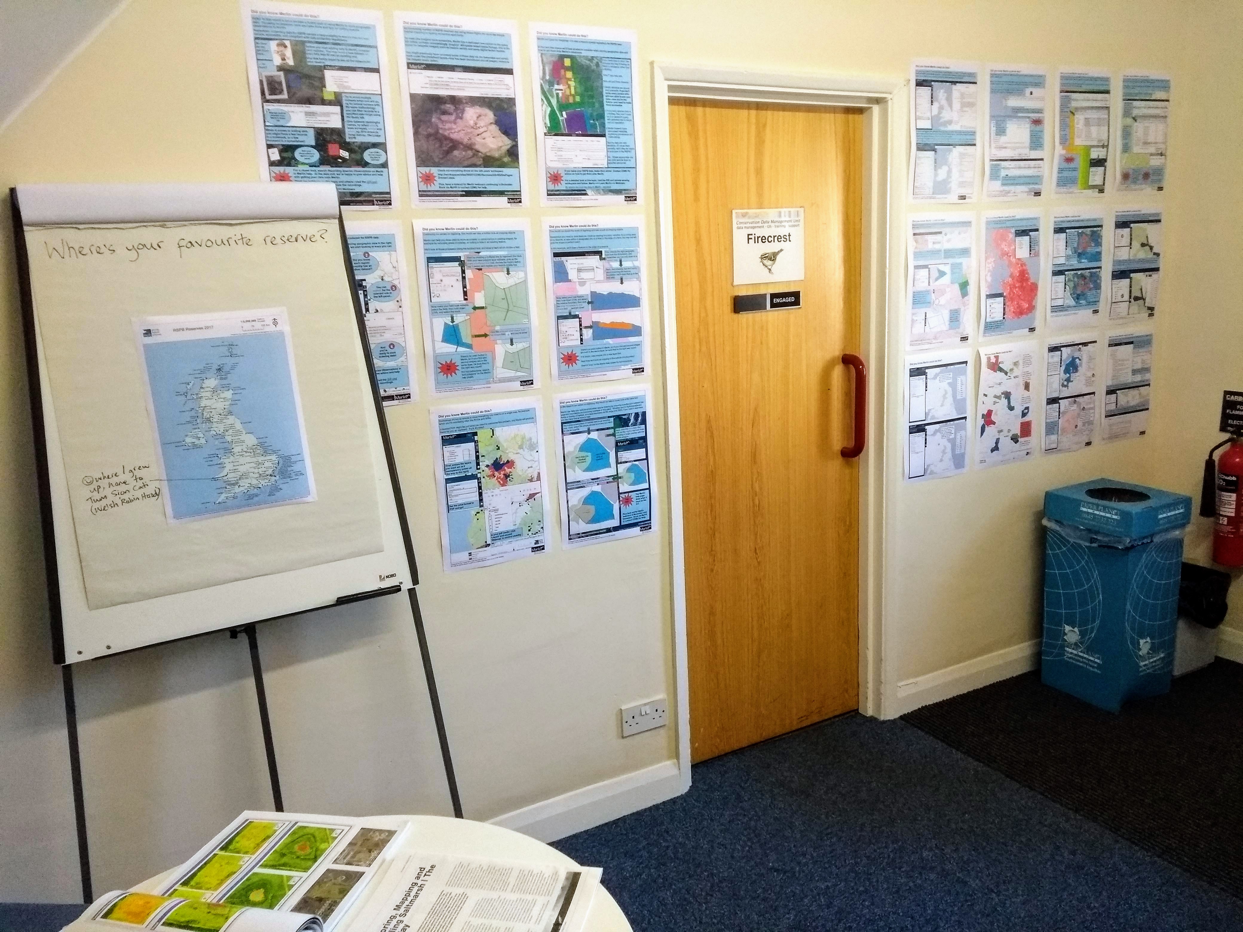
Today is GIS Day. Today we turned our department foyer into a map gallery to celebrate.
The conservation work of the RSPB is reliant on the application of up to date, accurate spatial data. Our GIS Team helps to ensure that data is used to make the best decisions for wildlife.
Happy mapping!