In recent years, drone technologies have been explored for a range of applications in conservation including (but not limited to) mapping, biodiversity inventories, antipoaching patrols, wildlife tracking, and fire monitoring. The rise of customizable, open-source drones like those of ArduPilot and OpenROV hold promise for more effective conservation applications, and combined with other monitoring sensors and devices, they are capable of collecting high-resolution data quickly, noninvasively, and at relatively low cost.
However, challenges remain in putting these tools to use. A recent paper reviewing 256 conservation drone projects highlighted some of these major obstacles, ranging from unintended social and ecological consequences of drone operations to still prohibitive costs, both in terms of hardware and in terms of storing and processing large volumes of data. The longstanding challenge of power/battery life remains as well.
If you're considering trying out drones for yourself, and want to explore the possibilities and understand the major conversations happening around this technology, check out these beginner's resources and conversations from across the WILDLABS platform:
Three Resources for Beginners:
- Conservation Technology User Guidelines Issue 5: Drones, World Wildlife Fund | Drones, best practices, ethics, regulations, case studies
- WILDLABS Virtual Meetup Recording: Drones, Craig Elder, Dr. Claire Burke, and Gabriel Levin | Drones, thermal camera, wildlife crime, ML, biologging
- New Paper: Drones and Bornean Orangutan Distribution, Sol Milne | Drones, data analysis, citizen science, community science, primates
Three Forum Threads for Beginners:
- Curious about radio-tracking with drones? | Wildlife Drones, Biologging (5 replies)
- Drones for GIS Best practice Document | Adrian Hughes, Drones (10 replies)
- WWF Conservation Technology Series: Drones in Conservation | Aurélie Shapiro, Drones (7 replies)
Three Tutorials for Beginners:
- How do I use a drone to capture radio-tracking data? | Debbie Saunders, Tech Tutors
- How do I choose the right drone for my conservation goals? | Shashank Srinivasan, Tech Tutors
- How do I strategically allocate drones for conservation? | Elizabeth Bondi, Tech Tutors
Want to know more about using drones, and learn from experts in the WILDLABS community? Make sure you join the conversation in our Drones group!
*Header photo: Parker Levinson, Point Blue Conservation Science

- @stefan_istrate
- | he/him
Machine Learning Researcher & Nature Photographer. Building conservation tech for biodiversity monitoring at Wildlife Insights.

- 0 Resources
- 2 Discussions
- 9 Groups

Aarhus University
Biologist and Research Technician working with ecosystem monitoring and research at Zackenberg Research Station in Greenland


- 12 Resources
- 216 Discussions
- 7 Groups

Saint Louis Zoo
- 0 Resources
- 0 Discussions
- 13 Groups
University of Adelaide

- 0 Resources
- 10 Discussions
- 17 Groups
- 0 Resources
- 3 Discussions
- 4 Groups
- @PierreBonnet
- | Pierre
https://orcid.org/0000-0002-2828-4389

- 0 Resources
- 1 Discussions
- 6 Groups

Care for Wild Rhino Sanctuary
Technology Manager at Care for Wild Rhino Sanctuary

- 0 Resources
- 1 Discussions
- 7 Groups
Bay Area Older Adults
California Naturalist with Felidae and CDFW
- 0 Resources
- 6 Discussions
- 3 Groups

- 0 Resources
- 0 Discussions
- 8 Groups
- @CourtneyShuert
- | she/her
I am a behavioural ecologist and eco-physiologist interested in individual differences in marine mammals and other predators

- 0 Resources
- 6 Discussions
- 5 Groups

- @hjayanto
- | He/Him
Your friendly Indo-Crocky-Croc


- 0 Resources
- 29 Discussions
- 16 Groups
Wildlife manager. Specialized in mammals, new technologies and abundance estimation
- 0 Resources
- 1 Discussions
- 5 Groups
Article
Technical Difficulties: Understanding the Realities

Colby Loucks
In their three-part interview from our new series Technical Difficulties, Colby Loucks and Eric Becker share the failures they've encountered and learned from throughout six years of working on the WWF-US Wildlife Crime...
13 October 2021
Article
New Papers: Remote Sensing in Ecology and Conservation

Remote Sensing in Ecology & Conservation
ZSL's Remote Sensing in Ecology and Conservation journal has released new research for early view before inclusion in an issue. See the full list of recent open access research papers on RSEC.
22 April 2021
Funding
Funding Opportunity: COVID-19 Science Fund

National Geographic
National Geographic is offering funding up to up to $50,000 for conservationists conducting research on how the pandemic has impacted wildlife and conservation work. If you are interested in researching aspects of the...
10 March 2021
Article

How can drones and ATVs protect black-footed ferrets from the plague? In this case study from WWF's Northern Great Plains Program, Black-footed Ferret Restoration Manager Kristy Bly discusses how delivering vaccines to...
17 February 2021
Article
Sol Milne's new paper, Drivers of Bornean Orangutan Distribution across a Multiple-Use Tropical Landscape, is now available. Using drones to detect orangutan nest density in aerial surveys (as shared during our...
12 February 2021
Article
Press Release: BAS Giant Iceberg Mission

British Antarctic Survey
A research mission to determine the impact of the giant A-68a iceberg on one of the world’s most important ecosystems using underwater robotic gliders gets underway this January. A team of scientists, led by British...
13 January 2021
Article
Conservation Technology User Guidelines Issue 5: Drones
World Wildlife Fund
The latest issue of WWF's Conservation Technology Series is about drones and is designed for a broad audience of conservationists. Containing ten case studies, scientific literature, and handy information on getting...
18 November 2020
Article
Report: Helping Ensure Ethical Indian Drone Operations

Shashank Srinivasan
As drone usage continues to grow within the conservation tech community, driven by improved performance, increased accessibility, and the wide range of data collection methods that can be served by drones, so do the...
19 October 2020
Article
#Tech4Wildlife News: Airdropping Sensors from Moths

University of Washington
The miniaturisation of technology is rapidly opening up new possibilities for conservationists and environmental scientists in need of less invasive, easy to deploy solutions. University of Washington researchers have...
13 October 2020
Article
Sustainable Fishing Challenges: Fishing Gear Innovations

Daniel Steadman
Today, Sustainable Fishing Challenges group leader Daniel Steadman discusses how fishing gear itself could benefit from fresh technological innovations to prevent both environmental damage and damage to species and...
19 August 2020
Article
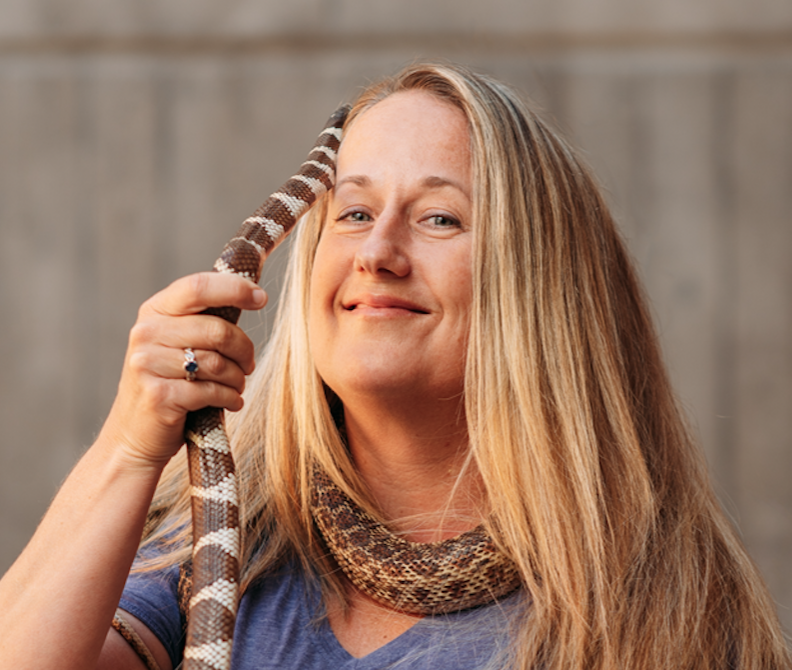
In this case study from herpetologist Emily Taylor, we learn about the best methods and gear used to track snakes, lizards, and other reptiles and amphibians via radio-telemetry, and how these techniques have changed...
31 July 2020
Article
Kākāpō Dreaming: A Wildlife Drones Adventure

Wildlife Drones
What is it like to track endangered species using drones? In this blog post from Wildlife Drones, Dr. Debbie Saunders travels to New Zealand to track the Kākāpō, an extemely rare and elusive bird of which approximately...
8 July 2020
April 2024
event

Wildlife Drones
December 2023
28 Products
Recently updated products
| Description | Activity | Replies | Groups | Updated |
|---|---|---|---|---|
| Anyone want to work on Elephants (in natural habitat) ? At Pah Muang Wildlife Sanctuary (along to road Chiang Mai to Lampang) there are... |
|
Drones | 7 years 7 months ago | |
| Unfortunately, I could not see the full article, but the executive summary makes a lot of sense. I think there might be a couple of other considerations. 1) As... |
|
Drones | 7 years 8 months ago | |
| For anyone interested in an overview of how drones are being deployed for conservation, this piece by Serge Wich (of ConservationDrones.org) provides a... |
|
Drones | 7 years 9 months ago | |
| In April, the Cambridge Conservation Tech Group held its second meetup, which brought together colleagues from RSPB, Birdlife, FFI,... |
|
Drones | 7 years 11 months ago | |
| Interesting. A case in point is the viral video making the rounds about drone fishing: We've seen an array of inventive uses for drones of late across a whole range... |
|
Drones | 8 years ago | |
| I agree that it is likely that a dirigible would probably struggle in a lot of common mapping settings. People do use kites though. If you are interested in developing the flight... |
|
Drones | 8 years ago | |
| Hi Lot, great to see you here too. |
|
Drones | 8 years 1 month ago | |
| Hi Sean, Thanks for sharing your survey - is there a specific date you'll be closing the survey? It'd be great if you could share the results of the... |
|
Drones | 8 years 1 month ago | |
| Hi Daniel Thanks for the interest in the project. The load carrying capacity will be a few kgs. The battery I've sized at this stage is around 2kgs and should allow it... |
|
Drones | 8 years 1 month ago | |
| http://www.esri.com/products/drone2map#beta ESRI is developing the means of putting UAV imagery into ArcGIS. Sign up to keep... |
|
Drones | 8 years 2 months ago | |
| These two fully funded PhD positions may be of interest to the community: Primate Conservation And UAV Technology:... |
|
Drones | 8 years 3 months ago | |
| DJI and Ford are teaming up for a contest open to the public to pioneer the development of a drone that is able to be launched and then... |
|
Drones | 8 years 4 months ago |


Insight; a secure online platform designed for sharing experiences of conservation tool use.

7 November 2023 1:01pm
A secure platform designed for those working to monitor & protect natural resources. Insight facilitates sharing experience, knowledge & tools to increase efficiency & effectiveness in conservation. By sharing we reduce time & money spent to find, test, & implement solutions.
5 Trailblazing Wildlife Monitoring Tech Solutions across East Africa. What Monitoring Technologies are you using?

25 October 2023 12:40pm
Restoring the Mara Elephant Population Using Coexistence Tech Solutions with Mara Elephant Project's Wilson Sairowua
 Wilson Sairowua
20 October 2023 1:31pm
How 3D Technologies are Reshaping Forest Ecology and Conservation

6 October 2023 1:13pm
Conservation Innovation Manager

27 September 2023 11:08pm
CIEEM 2023 Autumn Conference: Modernising Ecology: Techniques and Approaches
5 September 2023 1:59pm
Selecting a thermal imaging drone for wildlife monitoring
24 July 2023 4:52am
26 August 2023 1:09am
We have recently applied funding for one of these to find bird nests on the tundra in Greenland.
29 August 2023 12:42pm
Hi Doug,
we are a young startup that uses AI as a tool in nature and wildlife conservation. At the moment we develop a drone with on-board AI (for object detection) and thermal and "normal" camera. If you want to know more about the project, you can contact me [email protected]. I would be happy to help you.

Sustained Effort: Carbon Footprints and Capacity
 Sol Milne
9 August 2023 10:00am
#Tech4Wildlife Photo Challenge: Judges' Panel Honorees
 WILDLABS Team
4 August 2023 10:00am
Mapping seagrass with drones and AI

4 August 2023 2:00am
GeoNadir shared how drones and AI can help assess seagrass habitats at the Great Barrier Reef, as well as how satellite imagery can monitor seagrass on a wider scale.
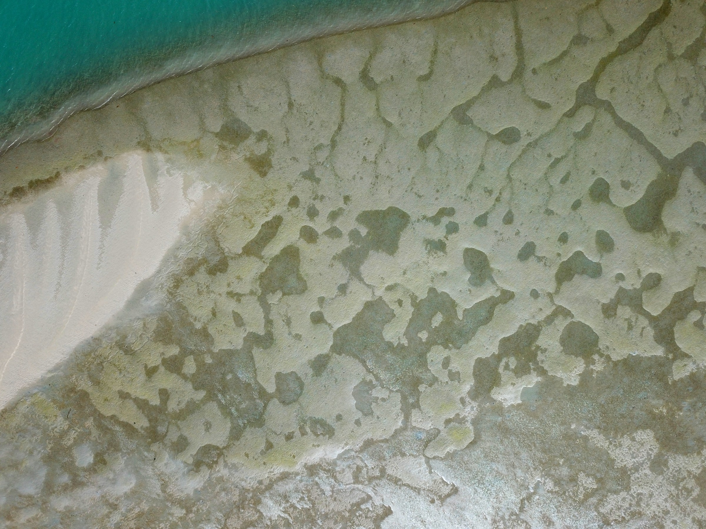
Mapping seagrass with machine learning and drones
Drone mapping combined with machine learning is providing a new level of detail for mapping seagrass extent on the Great Barrier Reef.
 GeoNadir
#Tech4Wildlife Photo Challenge: Community Choice Honorees
WILDLABS Team
3 August 2023 10:00am
Workshop on the use of information and communications technology for conservation in Central Asia
1 August 2023 11:50pm
Wildlife Conservation Drones & Technologies Summit 2023

16 July 2023 10:04pm
Project Spotlight: Monitoring tropical freshwater fish in Kakadu National Park with drones, underwater cameras and AI
12 July 2023 3:40pm
12 July 2023 3:58pm
During Andrew's talk, @dmorris put out a call in the chat that might be relevant to folks catching up on the video, so I'll drop it here too:
Re: Andrew's fish work... part of the reason I got in touch with Andrew a few weeks ago is that I'm trying to keep track of public datasets and public models for marine video that have basically this gestalt (video where fish look fishy-ish). I think we're getting close to enough public data to train a general-purpose model that will work well across ecosystems. My running list of datasets is here:
https://lila.science/otherdatasets#images-marine-fish
Let me know if folks know of others!
There are also a grand total of two public models that I'm aware of that sort of fall into this category... one is Andrew's:
https://github.com/ajansenn/KakaduFishAI
The other is:
https://github.com/warplab/megafishdetector
If folks know of other publicly-available models, let me know about those too!
2023 Canon Oceania Grants - Environmental Grant AU$5,000
7 July 2023 1:47pm
Osa Conservation: A Multi-Tech Toolbox of Solutions
 Osa Conservation
22 June 2023 10:42am
The Wildlife Society Conference
19 June 2023 5:59am
Catch up with The Variety Hour: June 2023
16 June 2023 11:43am
UAV-assisted counts of group size facilitate accurate population surveys of the Critically Endangered cao vit gibbon Nomascus nasutus
13 June 2023 3:51am
This paper explores the use of UAVs equipped with thermal and standard cameras to accurately count the group sizes of the Critically Endangered cao vit gibbon, highlighting how this technology can overcome the limitations of traditional ground-based methods and contribute to more robust population surveys and conservation efforts.
UAV-assisted counts of group size facilitate accurate population surveys of the Critically Endangered cao vit gibbon Nomascus nasutus | Oryx | Cambridge Core
UAV-assisted counts of group size facilitate accurate population surveys of the Critically Endangered cao vit gibbon Nomascus nasutus - Volume 58 Issue 2
ISO Speakers for Emerging Technologies class.

31 May 2023 4:29pm

31 May 2023 10:21pm
Definitely interested! I'm in the ecoacoustics/acoustic monitoring space, working at Rainforest Connection and Arbimon.
2 June 2023 2:08pm
Carly, that would be great! Thanks! I work with soundscapes and love the work of Rainforest Connection! I'll send you an email (@CUNY) to coordinate!
AirSeed: Drone planting takes flight to promote reforestation in flood-affected NSW
30 May 2023 12:28pm
AirSeed has developed a unique approach to tackle climate change and restore biodiversity by combining drone technology, machine learning, and seed pod biotechnology to carry out planting that’s 25x faster than traditional hand-planting methods.
Looking for AI volunteer positions

24 May 2023 5:41am
24 May 2023 3:45pm
Hi Donya! You might check out the Conservation Tech Directory to see what projects/organizations/tools best align with your interests and skills.
Animal tracking stories
22 May 2023 2:19am
Using computer vision to understand bee vision
5 May 2023 1:10am
Here's an innovative project from the Harvey Mudd College Bee Lab that could help us understand how bees view their environments, and thus better protect bee habitat. This project uses computer vision and drone imagery to replicate "bee vision" of flowers and how it differs from a human's view of the same habitat.
A Bee's-Eye View! Rethinking Image Thresholding to Save the Bees
A blog about social insect behavior, especially ants & honeybees, including field ecology, computer vision, and mathematical and simulation models.
Researchers use taxidermy bird drones to monitor wildlife
26 April 2023 2:40pm
Interesting project - “Our main goal for this is to develop a nature-friendly drone concept for wildlife monitoring,” Hassanalian said. “Traditional drones are often disruptive to ecosystems due to issues such as sound and unfamiliarity, so developing quieter, natural-looking alternatives could help wildlife monitoring and research.”
Drone imagery management software

17 April 2023 2:17am
21 April 2023 2:41pm
GeoNadir and OpenDroneMap might be of interest for drones?
The Conservation Tech Directory might have some additional projects/tools of note.
AI for Pelicans Challenge

20 April 2023 10:04am
Drones for IUU (illegal fishing activities & vessel monitoring)

20 March 2023 6:00am
11 April 2023 5:44am
Fantastic news, and so great to see it having a positive impact immediately. I am hoping for the same effectiveness here!
11 April 2023 5:48am
Hi Frank! Thanks so much for your reply. Yes I have been looking into the same sort of workflow as with camera traps etc and seem to be getting somewhere (although am yet to have my own data set with which to check!).
Yes, with the transponder issue, actually NONE of the boats here have them! There has been a push to get boats to install them further down the coast, but it was marred by the usual corruption and forceless enforcement. So everything will be visual, rather than working on any signal given out by the boats themselves. I am looking into ai programs that can analyse footage and as you say, it can be done with species so I see no reason it cannot be done with vessels given the parameters to look for

14 April 2023 12:57am
Seeing the pictures that @lmccaskill uploaded got my brain storming, so to say. Are you working with similar small boats? I was assuming bigger fishing ships that are registered somewhere. If the boats are not registered and there are no existing photos of them, and you want to identify the individual boats, you'll need to build your own catalogue to train an AI.
However / in addition, if the boats have written text on them with a name or a code or number, like in the pictures, then it should be ridiculously easy to identify boats. No AI needed. I discovered recently that my laptop has started showing find results based on text in photos. If different boats are of the same model, again like in the pictures, then there is nothing else left than what is written on them ... well, perhaps the color scheme.
... or perhaps face recognition if the image quality allows it. But then you'll be at square 1 again with training an AI.
ML-ready datasets for aerial/drone wildlife surveys

29 March 2023 5:27pm
29 March 2023 9:51pm
Excellent resource, Dan!
12 April 2023 5:53pm
Following up here... a few of us huddled virtually and assembled standardized metadata, standardized sample code, and sample annotated images for all the datasets on that list. I don't know whether this exercise was useful, but it was fun!
The URL hasn't changed, but I consider the list open for business now, let us know what we're missing:
https://github.com/agentmorris/agentmorrispublic/blob/main/drone-datasets.md
25 August 2023 12:15pm
Hi Doug,
I've got a Mavic 3T. Happy to chat about this and other fox related issues in Melb.
Mike.