Overview
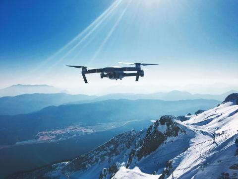
Unmanned Aerial Vehicles (UAVs), commonly known as drones, are used for aerial surveys, mapping, and monitoring of hard-to-reach or sensitive areas. Drones provide high-resolution imagery and data, enhancing conservation research and management efforts.
 Products
View all 32 UAVs/drone products
-

Wildlife Drones - Dragonfly
Collect more radio-telemetry data, more often and with less effort. It’s the world’s most advanced tracking solution for locating tagged animals in real-time. Compatible with any VHF tags globally, our unique sensor technology is a valuable addition to any conservation project
-
VT-Pigeon drone
VT-Pigeon is an aerodynamically optimized UAV with winglet nose, designed for flexibility and increased flight time.
-
-
-
-
DroneDeploy
Interior and exterior visual data – any altitude, any angle, all in one platform
 WILDLABS content
 Article
Case Study: Drone-based radio-tracking of Eastern Bandicoots

Wildlife Drones
Wildlife Drones was deployed by Zoos Victoria in a trial project tracking captive-bred Eastern Barred Bandicoots that were tagged and released into the wild
Career Opportunity
Hiring Chief Engineer at Conservation X Labs

Henrik Cox
Technology to End the Sixth Mass Extinction. Salary: $132 - $160k; Location: Seattle WA; 7+ years of experience in hardware product development and manufacturing; View post for full job description