article / 17 December 2020

Announcing the 2020 Geospatial Conservation Annual Report

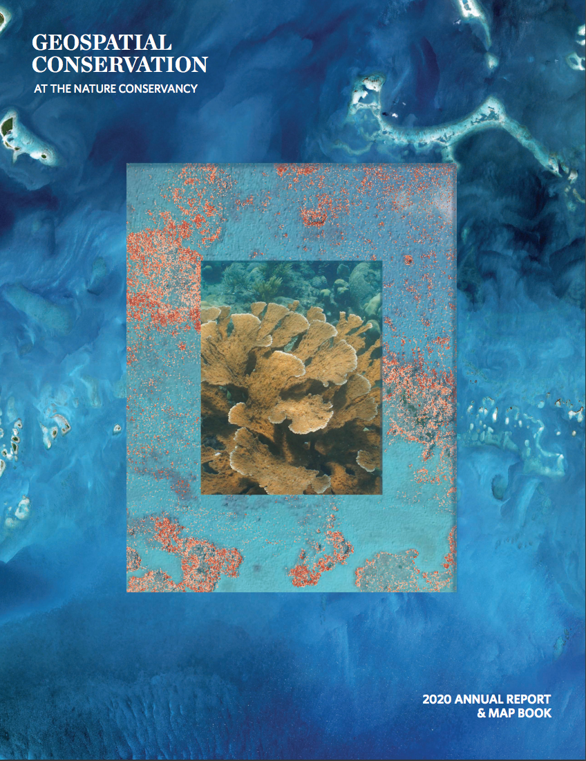
The Nature Conservancy's 2020 Geospatial Conservation Annual Report is now available to download! Featuring 25 case studies focused on the impact of geospatial science on conservation work, maps showcasing conservation projects and threatened ecosystems, and annual survey results, this annual report is a must-read for anyone interested in using GIS, machine learning, and remote sensing in your own work. Download the TNC 2020 Geospatial Conservation Annual Report now! Just getting started with geospatial conservation tech? Check out WILDLABS' recent Tech Tutors episodes, How do I use open access remote sensing data to monitor fishing? and How do I use open source remote sensing data in Google Earth Engine?

download

Download the full report now.

In the 2020 Geospatial Conservation Annual Report, you'll find:

  • 25 case studies featuring geospatial technology work conducted around the world.
  • Global maps from threatened ecosystems facing high development pressure.
  • 14 feature maps from specific GIS-based conservation projects.
  • Annual survey results.

Read more about the annual report here.


Add the first post in this thread.

Want to share your own conservation tech experiences and expertise with our growing global community? Login or register to start posting!