
Netty Cheruto
- @Netty_Cheruto
- | She/her


About this Episode
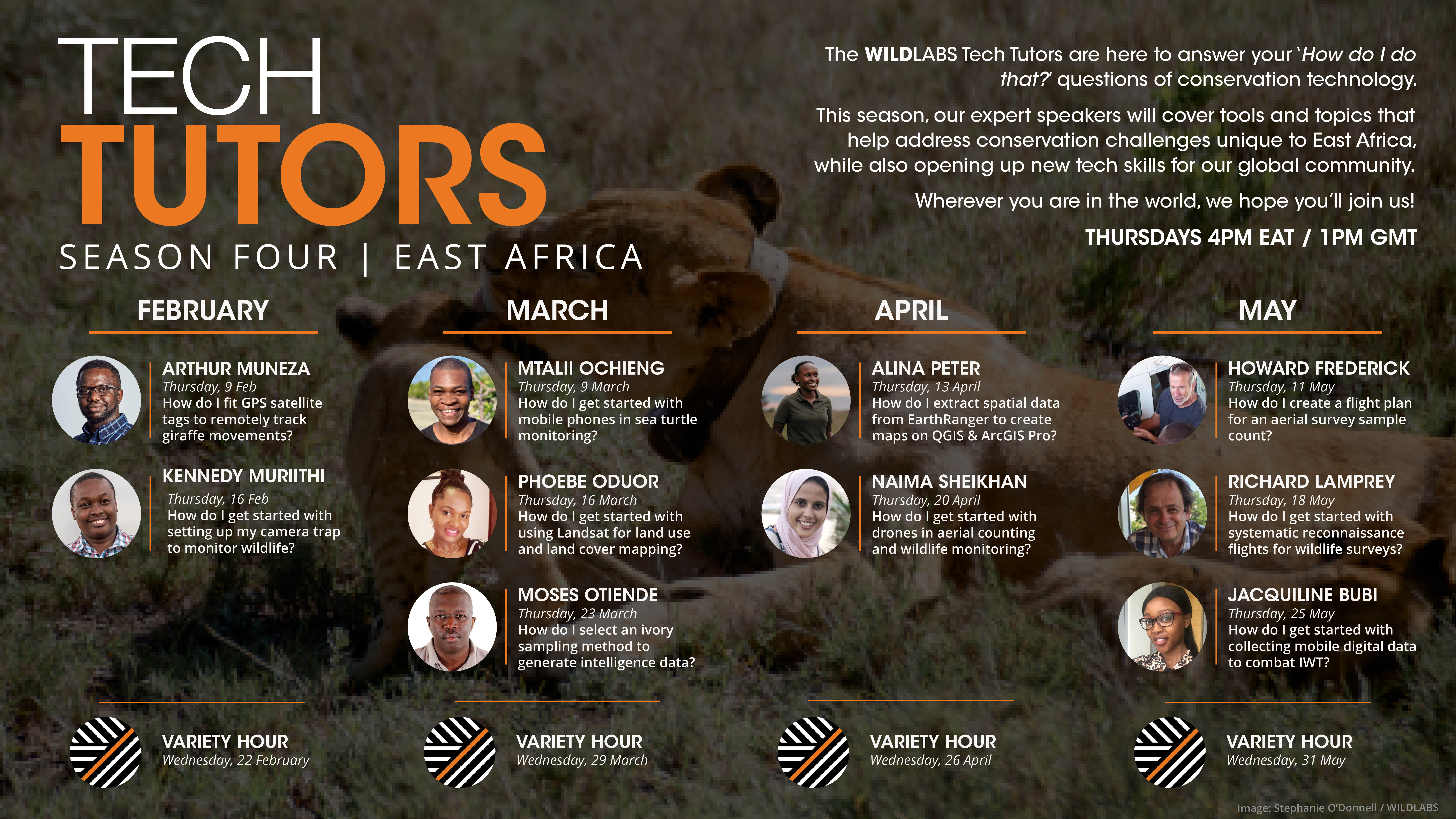
The WILDLABS Tech Tutors are here to answer the "how do I do that?" questions of conservation technology! These tutorials will provide practical skills and steps that will become the building blocks you need to push your conservation tech work and research forward. This season, the focus will be to answer the questions emerging from our growing East Africa regional community, while also opening up new tech skills for our global community.
On Thursday, March 16th at 4 PM EAT / 1PM GMT, Phoebe Oduor from Regional Centre for Mapping of Resources for Development (RCMRD). led an insightful tutorial on "How do I get started with Landsat for land use and land cover mapping?"- a topic of great interest and importance to many. Landsat has been instrumental in providing valuable data for land use and land cover mapping, enabling many to better understand and manage the earth's resources for a sustainable future. If you are looking to improve your knowledge and skills on Landsat and its applications, don't miss out on this opportunity to learn from an industry expert!
You can now access the recording here.
Meet your tutor: Phoebe Oduor.
Phoebe Oduor has a background in Geospatial Engineering (BSc) and Climate Change Adaptation (MSc) and over 10 years work experience. Currently, she works for the Regional Centre for Mapping of Resources for Development (RCMRD) based in Nairobi, Kenya, where she serves two key functions. As the Lead for LULC she utilizes Earth Observation (EO) data to support development challenges in 10 countries across Africa, where she and her team have created data, developed support tools and strengthened institutional capacities. These datasets have been utilized to support monitoring of land activities, land use decisions and in tracking forest resources for measurement and reporting and particular in determining existing baselines as well as quantifying existing natural capital, and in prioritizing restoration efforts. Phoebe recently got recognition for these efforts after being shortlisted for 50 Rising stars 2022 in the Geospatial World and top 14 Women in Machine Learning for EO (ML4EO) 2022 recognition by the Radiant Earth Foundation.
As a PoC for AfriGEO Secretariat, which is a regional initiative of the Group Earth Observations (GEO), she provides support that catalyzes national, regional and global synergies with EO based partners and institutions in Africa to leverage opportunities that to strengthen capacities in optimizing EO. These provide governments with evidence-based decision making to meet the Vision 2030 SDG’s, Paris Climate Agreement, reducing Risks on Disasters and supporting sustainable cities. She is a board member of the EO Africa Research and Development Facility (a three-year program by the European Space Agency led by ITC) that supports use of cloud computing and ML in areas of Water Resource management and Food Security by pairing local and EU based Researchers. She recently joined as a Technical Advisory Committee member of the Digital Earth Africa (DE Africa), a GEO initiative. She was also nominated to support the Lacuna Fund as Technical Advisory Panel member during the Climate-Energy nexus grant phase. She is a gender champion and contributes through the GEO Equality Diversity Inclusion (EDI) Subgroup, the DE Africa Gender Equality and Social Inclusion (GEDSI) working group. At RCMRD she has supported learning, mentorship through Women in Science (WISCI) and strategy development for gender inclusion.
What will I learn in this episode?
You will get to explore how Earth Observation (EO) Data can be utilized in support of Landscapes monitoring and how to effectively utilize the data for mapping and monitoring changes on the earth's surface.
How can I learn more about landsat for land use and land cover mapping?
There are many resources online which you can access from these webpages: NASA ARSET, ESA Copernicus RUS programs, RCMRD provides regular learning for short courses.Private sector companies and International partners also contribute to many learning opportunities and academia at different levels.
Some of the resources Phoebe shared during her presentation include:
Resources on GEE
- https://www.fao.org/publications/card/en/c/CB9049EN/
- https://t.co/4aJTH6VRLe
- https://developers.google.com/earth-engine/classification
- https://www.youtube.com/watch?v=yfuxSWfMsQA&t=445s
- https://twitter.com/nekodawn/status/1578092266572328960?t=O2WES8
yfwPRLgOpNpyibCQ&s=09
Resources on Land Trendr
- https://emapr.github.io/LT-GEE/api.html#getchangemap
- https://github.com/eMapR/LT-GEE
Publications
- Adams, E. C., Oduor, P., Wahome, A., & Tondapu, G. (2022). Reflections on two years teaching earth science at the women in science (Wisci) steam camp. Journal of Women and Minorities in Science and Engineering, 28(1).
- Bullock, E. L., Healey, S. P., Yang, Z., Oduor, P., Gorelick, N., Omondi, S., ... & Cohen, W. B. (2021). Three decades of land cover change in East Africa. Land, 10(2), 150.
- Thomas, E. A., Needoba, J., Kaberia, D., Butterworth, J., Adams, E. C., Oduor, P., ... & Nagel, C. (2019). Quantifying increased groundwater demand from prolonged drought in the East African Rift Valley. Science of the total environment, 666, 1265-1272
- Al-Hamdan, M. Z., Oduor, P., Flores, A. I., Kotikot, S. M., Mugo, R., Ababu, J., & Farah, H., Evaluating land cover changes in Eastern and Southern Africa from 2000 to 2010 using validated Landsat and MODIS data International journal of applied earth observation and geoinformation
- Oduor, P., Ababu, J., Mugo, R., Farah, H., Flores, A., Limaye, A., ... & Artis, G., Land Cover Mapping for Green House Gas Inventories in Eastern and Southern Africa Using Landsat and High Resolution Imagery: Approach and Lessons Learnt.tion, Springer
You can also access resources, connect and get support from others in the WILDLABS Remote sensing &GIS group and the Earth Observation 101 Community. A few resources to start with include:
- Dr. Cristian Rossi: The Earth Observation 101 virtual course series, which is an in-depth lecture series that explores the technologies and the algorithms behind remote sensing and gives an overview of several applications using RS data, including practicalities about data access and processing.
- Harriet Branson: 'How do I access and visualise open source remote sensing data in Google Earth Engine?'
If I need to take the next step with Landsat, what is the first thing I should consider?
If you are interested in better understanding landsat, and to learn more on how GIS and RS can be used in mapping and analysis, taking beginner courses is a great place to start. These courses will provide you with a solid foundation in the principles and practices of GIS and remote sensing, helping you gain the skills and knowledge you need to work with geospatial data.
The other important bit is to know where and how to access data and preprocess it to ensure it is accurate and ready for analysis. Preprocessing could involve data calibration, image enhancement, atmospheric correction and other techniques that help you correct errors and distortions in your data.
Once you have preprocessed the data, you can move forward with analysis and other next steps. Depending on the nature of your project, this could involve performing spatial analysis, modeling, or classification. By using GIS and remote sensing tools, you can gain insights into complex spatial patterns and relationships, making it possible to make more informed decisions and better monitor and manage landscapes.
What advice do you have for a complete beginner in this subject?
Remote sensing knowledge is mandatory. It’s also great to get some familiarity with the environment you are trying to map.
Learn more about upcoming Tutorials
If you were not able to join us for our prior sessions, you can catch up with our previous episodes in our YouTube channel. We hope that the topics and themes covered by our speakers will be useful in your research, work or discoveries!
To find out more about the entire season, kindly visit this page or contact Netty Cheruto @ [email protected]
Related content
Article
Earth Observation 101 Virtual Course

WILDLABS Team
Register now for the new virtual course: Earth Observation 101. Join Dr Cristian Rossi, who will guide you through this four-part lecture series exploring remote sensing for conservation.
30 September 2022
Article
Join us for Tech Tutors: East Africa
WILDLABS Team
The WILDLABS Tech Tutors are here to answer your ‘How do I do that?’ questions of conservation technology. This season, our expert speakers will cover tools and topics that help address conservation challenges unique...
18 January 2023
Event
Recording available! In this second tutorial, Kennedy Muriithi from Ol Pejeta Conservancy answers the question 'How do I get started with setting uo my camera trap to monitor wildlife?' The session covers bits and...
6 February 2023
Event
Catch up on this tutorial, where Mtalii Ochieng from Bahari Hai covered how mobile phones can be utilized in sea turtle monitoring. Using Bahari Hai as a case study, Mtalii shared great insights on how this simple tool...
13 February 2023
Add the first post in this thread.