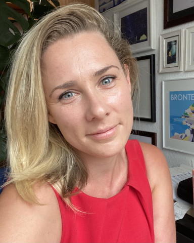
I'm an independent consultant providing GIS services to conservation and research oriented organizations. While I work in many areas of GIS, a special interest these days is analyzing satellite data to assess human impact, climate change, and conservation outcomes. I also have done substantial programming, primarily in Python, to automate and simplify GIS workflows. I'm definitely a technology nerd, and enjoy learning about new technologies--or new applications of old technologies--in the world of wildlife conservation and research.
GIS for me is primarily a tool for understanding and conserving wildlife. I see other technology as having a similar role, and indeed I think GIS complements a lot of the other technologies out there. Satellites, drones, camera traps, etc. provide a lot of data that can be analyzed using GIS, and in turn GIS can help those in the field better focus their efforts. I also enjoy right-sizing technology; that is, finding the cheapest effective techniology for the job, e.g., studying bird migrations with relatively cheap light sensor-based trackers rather than GPS/satellite collars. Collaborating with wildlife experts and bringing them technology-based solutions is probably the most enjoyable part of what I do. You can read more about what I'm up to at my website.