Overview
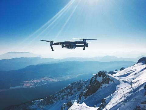
Unmanned Aerial Vehicles (UAVs), commonly known as drones, are used for aerial surveys, mapping, and monitoring of hard-to-reach or sensitive areas. Drones provide high-resolution imagery and data, enhancing conservation research and management efforts.
 Products
View all 36 UAVs/drone products
-

Mamba Cliff Plants Sampling
The Mamba cliff sampling tool was created to collect plants on cliffs. It consists of a stabilized robotic platform that can be attached to a drone. It operates with a centimetric precision that allows it to move independently from the drone to carefully collect plant samples.
-
DeLeaves tree sampling tool
The DeLeaves® tool is a new way to remotely sample canopy using a drone. It can be attached to many commercial drones, and allows to user to cut and grab branches up to 1 inch in diameter. Safer than using shotguns or tree climbers.
-
Wildlife Drones - Dragonfly
Collect more radio-telemetry data, more often and with less effort. It’s the world’s most advanced tracking solution for locating tagged animals in real-time. Compatible with any VHF tags globally, our unique sensor technology is a valuable addition to any conservation project
-
VT-Pigeon drone
VT-Pigeon is an aerodynamically optimized UAV with winglet nose, designed for flexibility and increased flight time.
-
DroneDeploy
Interior and exterior visual data – any altitude, any angle, all in one platform
-
 WILDLABS content
 Article
Edge AI Earth Guardians: Humane Animal Protection for Gardens

Stephen Kruglewicz
I am developing an open, replicable edge-AI system to protect bird feeders and gardens. My goal is to use real-time, on-device computer vision to detect and gently deter squirrels and other small animals—preserving bird...
 Discussion

15 years ago I had to rebuild the dams on a game reserve I was managing due to flood damage and neglect. How I wished there was an easier, more accurate way of doing the site...
Discussion
How much does it cost to incorporate machine learning into your conservation drone geospatial analysis? How does it speed up your workflow and how you can design your very own...
 Events
 In numbers
WILDLABS group
Organisations
-
Viettel Aerospace Institute
The Viettel Aerospace Institute (VTX) develops high-tech aerospace technologies and specializes in aerospace equipment design, manufacturing, and production.
-
-
Liquid Robotics - a boeing company
The Wave Glider is capable of collecting and communicating ocean data, real-time, through unpredictable conditions, for up to one year.
-
Scripps Institute of Oceanography
Scripps Institution of Oceanography at UC San Diego works to understand and protect the planet and find solutions to our most pressing environmental challenges.
-

NASA
The National Aeronautics and Space Administration is America’s civil space program and the global leader in space exploration.
-
Great Barrier Reef Foundation
Foundation focused on regeneration and restoration of the Great Barrier Reef.