Overview
Remote sensing, combined with Geographic Information Systems (GIS), uses satellite or aerial imagery to map and analyse landscapes. This technology aids in efforts such as habitat mapping, land use assessment, and spatial planning for conservation initiatives.
 Products
View all 112 Remote sensing GIS products
-

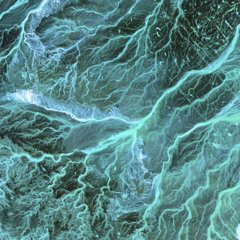
Mekong Dam Monitor
An open-source online platform for near-real time monitoring of dams and environmental impacts in the Mekong Basin
-
NASA Earth Observations (NEO)
Global satellite imagery with global datasets of albedo, land surface temperature, rainfall, net radiation, vegetation indices, chlorophyll and sea surface temperature.
-
International Food Policy Research Institute
Access datasets related to food-based policy-making, mainly in the form of survey data.
-
-
-
Mangrove Science
Group of scientists providing up to date research on mangroves and blue carbon using different technologies and methods.
 WILDLABS content
 Discussion
Discover Digital Earth Africa

Stephanie O'Donnell
Digital Earth Africa are doing fantastic work to make Earth Observation data free and accessible, delivering decision-ready products to the African Continent. To learn more about...
 Article
The partnership will support the Global South with the development, planning and management of marine protected areas (MPAs) in the high seas.
Article
Textbook: Cloud-Based Remote Sensing with Google Earth Engine
Stephanie O'Donnell
The first most comprehensive textbook for Earth Engine "Cloud-Based Remote Sensing with Google Earth Engine" now has many video tutorials by authors,
 Events
 In numbers
WILDLABS group
Organisations
-

-
Big Life Foundation
Big Life Foundation USA uses advanced technologies and works with local communities to protect wildlife and wild lands in East Africa, combating poaching, human-wildlife conflict, and habitat destruction.
-
Osa Conservation
Osa Conservation uses innovative technology and a comprehensive approach to protect the Osa Peninsula's natural ecosystems.
-
Global Airborne Observatory
The Global Airborne Observatory is an airborne laboratory that houses advanced earth mapping technologies which facilitates the advancement of scientific discoveries, supports conservation, and galvanizes action to protect the environment at large geographic scales.
-
Imazon
Imazon (Amazon Institute of People and the Environment) is a Brazilian research institution that promotes conservation and sustainable development in the Amazon.
-
Arizona State University
Arizona State University is a world class University keen on caring for the environment through programs that aim to achieve net zero carbon emissions and use of green power.