Technology type

UAVs/drone

28

Products

15

Organisations

Overview

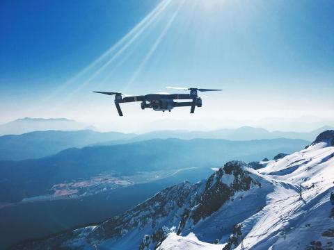
Unmanned Aerial Vehicles (UAVs), commonly known as drones, are used for aerial surveys, mapping, and monitoring of hard-to-reach or sensitive areas. Drones provide high-resolution imagery and data, enhancing conservation research and management efforts.

camera trap icon Products

  • camera trap icon

    VT-Pigeon drone

    VT-Pigeon is an aerodynamically optimized UAV with winglet nose, designed for flexibility and increased flight time.

  • camera trap icon

    Pix4D

    A unique photogrammetry software suite for mobile and drone mapping

  • camera trap icon

    eBEE X

    This is a small fixed wing survey and mapping drone suitable for difficult terrain.

  • camera trap icon

    DJI go

    Android and iOS planning software designed for all models of DJI drones

  • camera trap icon

    Phantom 4 Pro

    Entry-level professional multi-rotor drone with powerful obstacle avoidance

Organisations

  • Viettel Aerospace Institute

    The Viettel Aerospace Institute (VTX) develops high-tech aerospace technologies and specializes in aerospace equipment design, manufacturing, and production.

  • PIX4D

    Pix4D is a producer of photogrammetry software technology.

  • Scripps Institute of Oceanography

    Scripps Institution of Oceanography at UC San Diego works to understand and protect the planet and find solutions to our most pressing environmental challenges.

  • NASA

    The National Aeronautics and Space Administration is America’s civil space program and the global leader in space exploration.

  • AirMap

    AirMap, Inc. provides airspace management platform for drones. The Company offers real-time airspace information and services. Airmap serves customers in worldwide.